Los Azulejos Hiking Route
Not everything Gran Canaria has is beach and sunshine. It is an island that keeps a very important historical, natural and patrimonial heritage in the Canary Islands. Within this natural legacy, we can find numerous hiking routes, one of which is the Los Azulejos hiking route in Gran Canaria.
The Los Azulejos fountain is located between the municipalities of Mogán and the village of San Nicolás and can be seen from the G-200 road. However, the most interesting part of the route is undoubtedly the trekking route that runs through the whole area of Inagua in Gran Canaria, a real spectacle of nature.
The name Los Azulejos (The Tiles) is given by the locals of the area, because of its resemblance to the walls tiled with tiles, with bright colours that have been declared of geological interest by the Spanish Geomining Technological Institute.
As this is a very little known route for both tourists and local inhabitants of the island, with this article we intend to highlight this route and the Inagua Integral Nature Reserve, showing you a trail with which you can enjoy this environment and its views that will surely leave you with your mouth open.
Inagua Integral Nature Reserve
This reserve is included within the area of the Nublo Natural Park, between the municipalities of Tejeda, Mogán and La Aldea de San Nicolás. In 1987 it was declared known as Ojeda Pajonales and Inagua Natural Park and finally in 1994 it was renamed to Inagua Natural Park.
Also, it was declared peripheral zone of birds and is home to the Inagua, Ojeda and Pajonales National Refuge for Hunting.
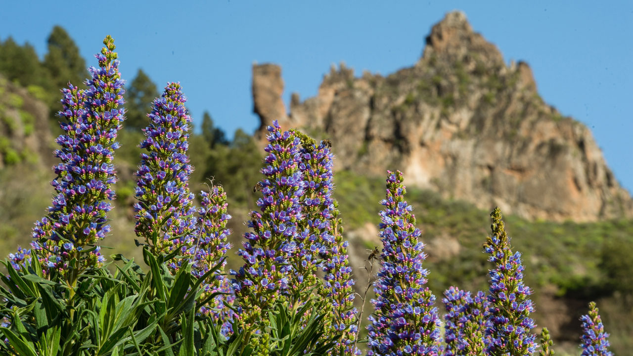
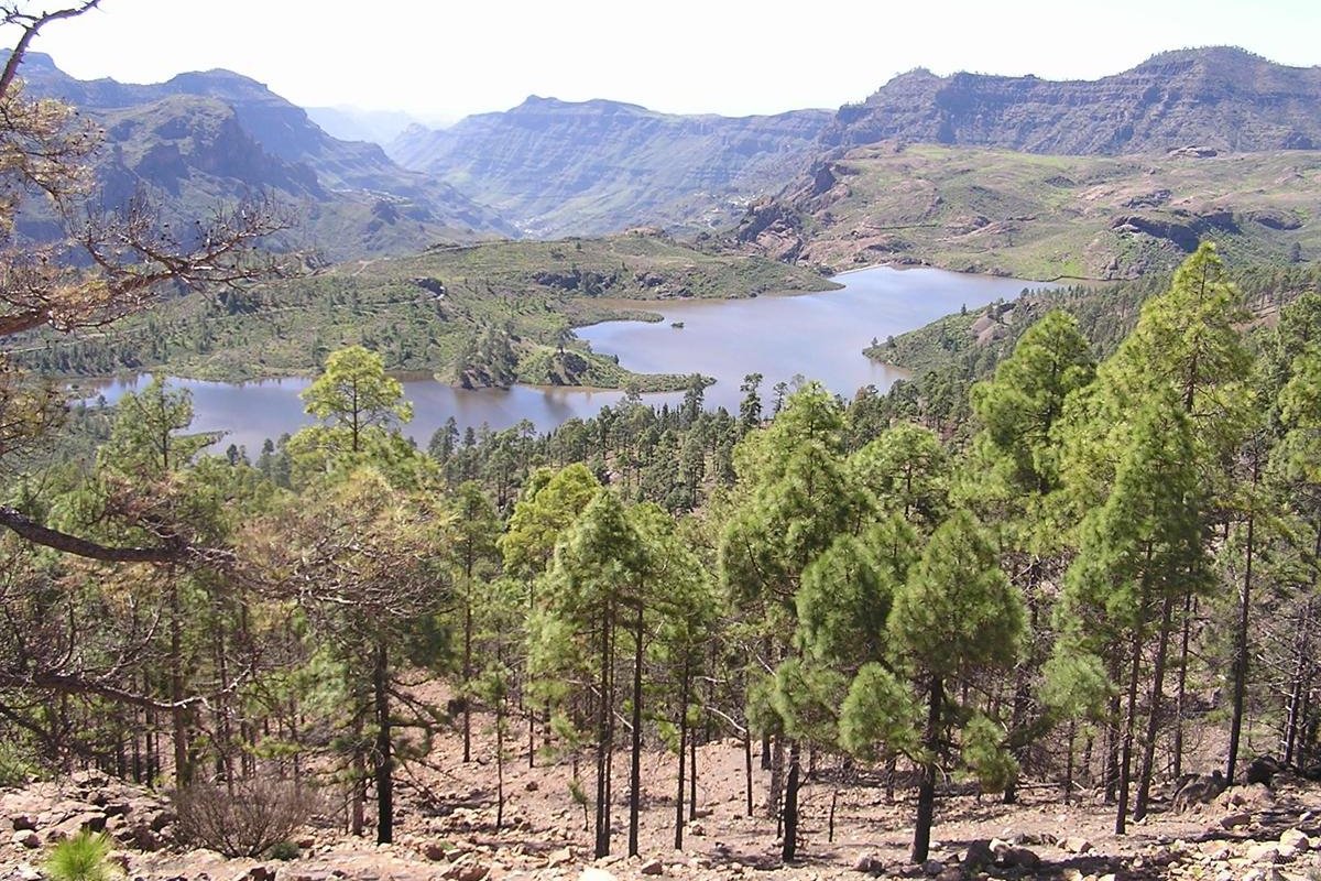
The group of mountains of Inagua, Pajonales and Ojeda, where Los Azulejos is located in Gran Canaria, is one of the best preserved pine forests on the island. This, together with the fact that it has one of the great headwaters of important ravines in Gran Canaria, such as Mogán, or Mulato, gives it a fundamental role in the recharge of underground water.
In addition, the flora and fauna found in the area are protected. There are also several endemic species that are threatened, so that for some species, such as the blue finch, the pine forests in this area are their main refuge.
Los Azulejos Route
Now that you know the whole environment that encompasses the Los Azulejos ravine, it is time to get down to business and discover the Los Azulejos hiking route.
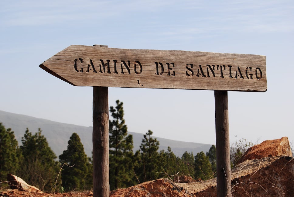
The first thing you should know is that there are many paths that run through this environment, from Tejeda, Artenara, the Tamadaba Pine Forest, etc. But we are going to show you what, in our opinion, is the most attractive route and one where you can contemplate and enjoy this geological environment to the fullest.
Degollada de La Aldea-Montaña del Viso-Los Azulejos Route
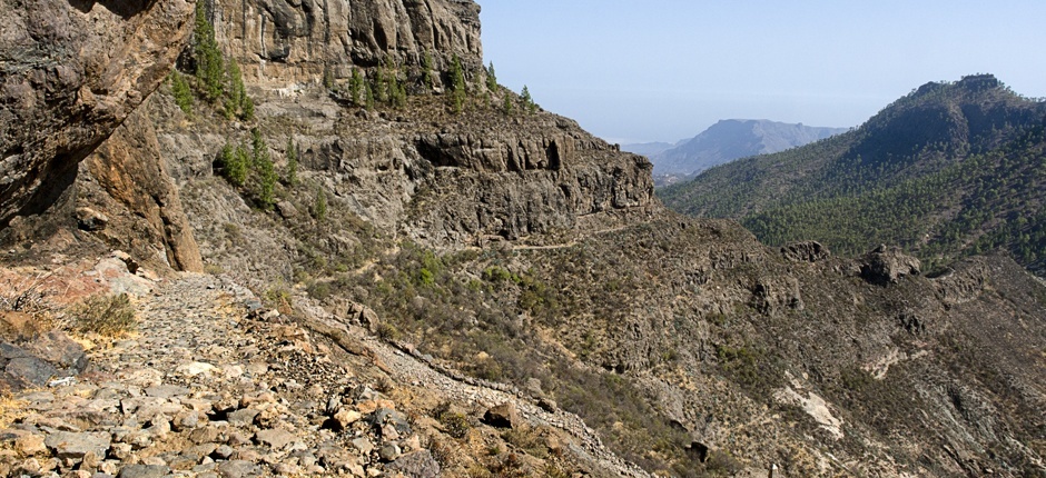
This route starts at the intersection of the G-200, a road that links the municipalities of Mogán and La Aldea de San Nicolás. The starting point towards the Los Azulejos ravine in Gran Canaria is the Degollada de la Aldea on the way to the Montaña del Viso.
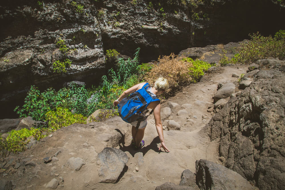
This first stage is easy, with a constant climb but not excessively difficult, except for a small stretch of hardness. As you pass it, you will be able to see an excellent view of the Hogarzales Mountain, Lobas and La Aldea de San Nicolás.
At the end of the ascent, the route will take us to the Cruz del Viso, where, if we decide to leave the path a few metres away, we will be able to see, on the one hand, the Teide and La Aldea and, on the other, the Roque Nublo and the Roque Bentayga. Once we return to the trail we will follow the road that will lead us to Inagua.
Here, is where the last stage of the climb from Cruz del Viso to the pine forest begins and we will reach an area quite similar to the one you have found at the beginning of the trail. From here you will have views of Güi-Güí, the Tasarte ravine and the Veneguera ravine.
From here, the descent begins, very smooth and not very pronounced, towards the Inagua Nature Classroom. The next thing will be to walk on a dirt track for a few kilometers and cross the La Manta ravine. To get to Los Azulejos in Gran Canaria, you have to make a somewhat winding, fast descent with some added difficulty, so you have to be especially careful.
Once you have reached the end of the route, you will return to the the ravine and begin to see Los Azulejos in Gran Canaria, a geological spectacle that will make the end of the route even more enjoyable.
The most important data of the route:
- Distance: 16 kilometres.
- Duration: approximately 6 hours, taking into account the different stops for hydration and feeding.
- Difficulty: medium-low difficulty with small parts of high difficulty.
- Recommendations: comfortable footwear, fresh clothing, water, food, hat or cap and, if possible, a GPS.
As you have seen throughout this article, this route, although unknown to the general public, hides a natural heritage that few parts of the island have.
The privileged environment in which it is located, within the Integral Natural Reserve of Inagua, where you can contemplate views of the imposing cliffs of the north, mountains with historical significance as Hogarzales or see emblems of the island as the Roque Nublo.
In short, enjoying a hiking day around Los Azulejos in Gran Canaria is a magnificent way of discovering the hidden corners of the north of the island.