La Plata Hiking Route in Gran Canaria
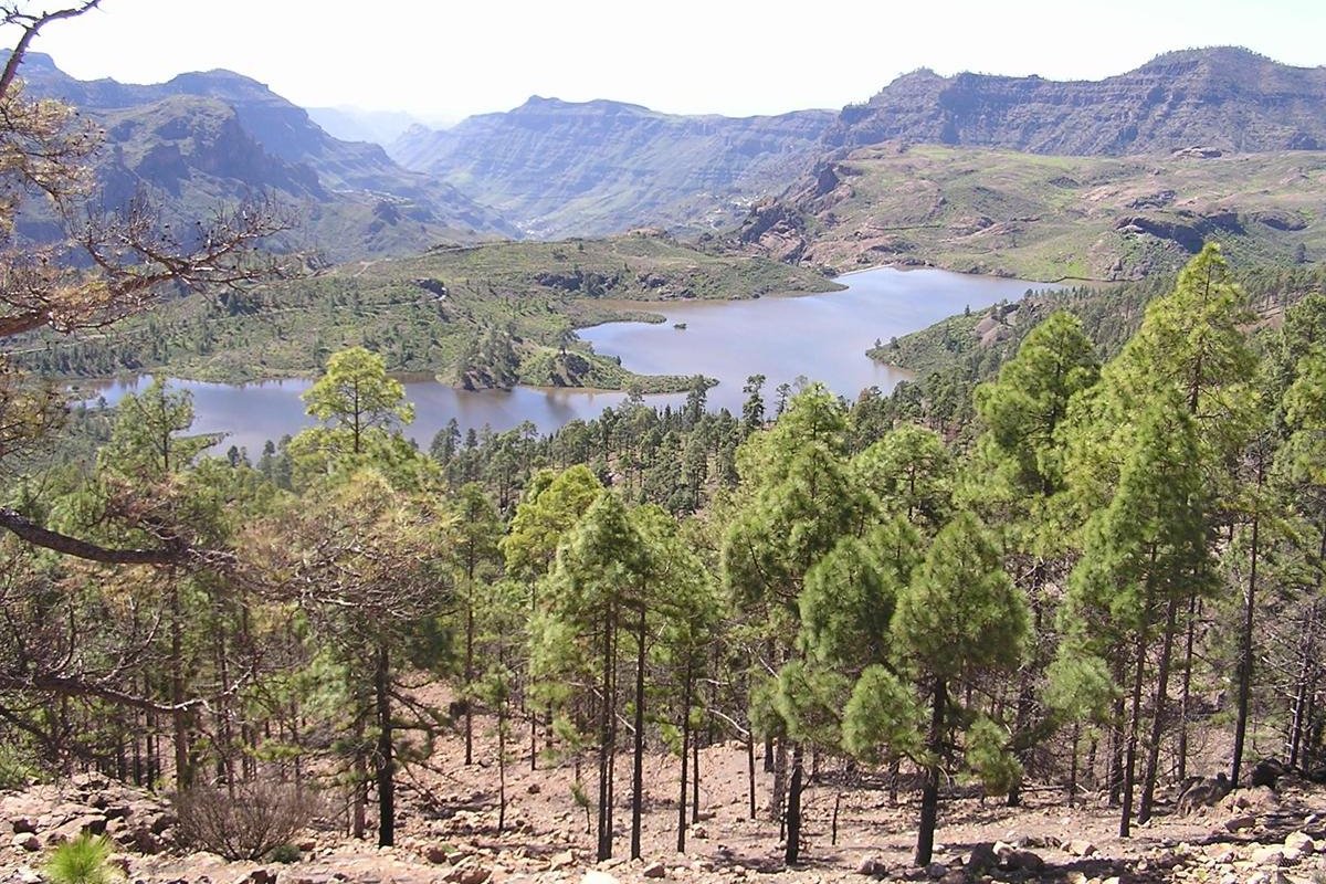
The La Plata hiking route in Gran Canaria (literally, the Silver Route) crosses the beautiful and rugged interior of the island along a path that for a long time served as a means of communication between the southern and northern slopes of the island.
This route has its origins in the need to transport the large herds of cattle in search of the abundant pastures of the southern lands after the winter rainy season. This transhumance was known as the ‘mudá del ganado’.
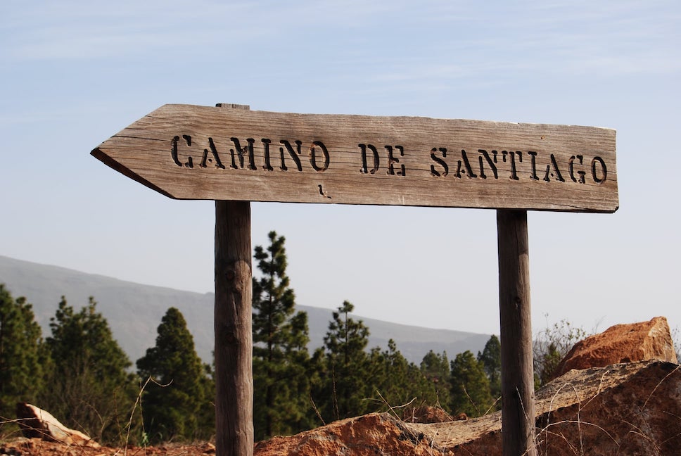
Thus, it’s a route that endured a huge commercial bustle and was also used intensively by the pilgrims who walked the Way of Saint James in Gran Canaria every July to venerate the Apostle in Tunte.
It’s undoubtedly one of the most spectacular works of road engineering in the Canary Islands, with a socio-economic importance of incalculable value for the inhabitants of the round island.
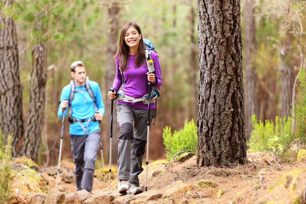
This amazing creation in Gran Canaria, which in the past facilitated the transit of traders, livestock and shepherds, muleteers, beasts of burden, artisans, neighbours and pilgrims, is now travelled by tourists, mountaineers and hikers.
La Plata Hiking Trail Route in Gran Canaria (9,6 km)
This trekking route follows a road used by humans and livestock that the ancient settlers of Gran Canaria used to move their animals in search of the best pastures each season.
With the improvements paid for out of pocket by a wealthy landowner at the end of the 19th century, the Gran Canarian people were able to avoid the geographical features of the peaks to the south when road communications were non-existent.
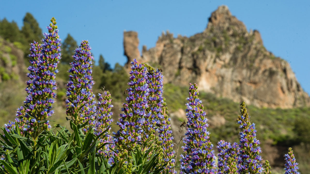
Today, this route has been adapted for hikers and pilgrims. Thus, among pine forests and endemic plants such as tajinastes and verodes, this hiking trail crosses places of high biological value such as Degollada de Becerra, El Garañón, Paso de la Plata and Tunte.
Of course, it’s advisable not to forget sun protection and to bring appropriate footwear, as well as food and drink to enjoy moments of rest along the way.
Itinerary of the La Plata Hiking Route in Gran Canaria
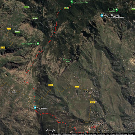
The itinerary of this hiking route in the heights of Gran Canaria begins at the popular campsite located in Llano del Garañón, at the foot of Pico de las Nieves (the highest point of the island at 1,949 metres above sea level).
The route then crosses the GC-600 road (Ayacata-Los Llanos) and continues parallel to it through a pine forest that gradually opens up as it descends towards the Llano and Cortijo de Pargana.
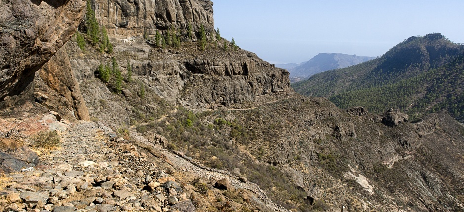
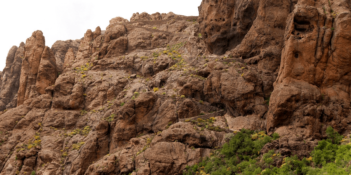
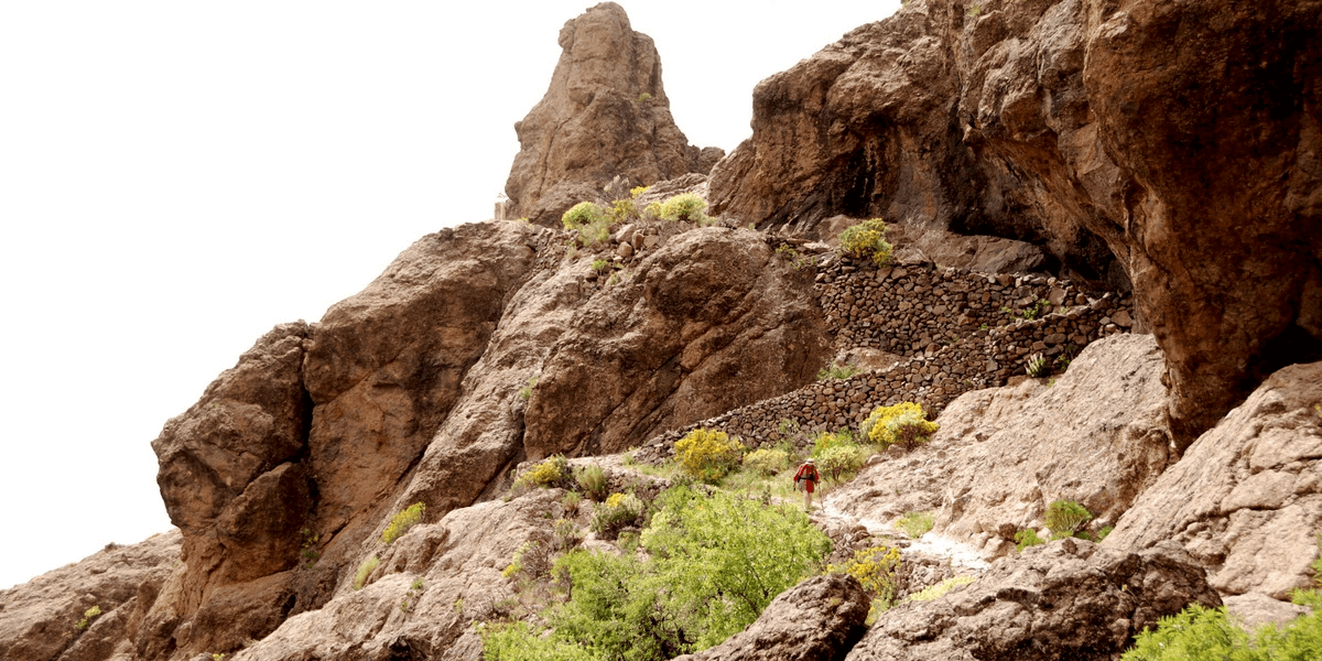
On reaching the Paso de la Plata, between the impressive rocky outcrop of El Puntón and the cliff of Las Carapachas, the eyes cannot believe the spectacle unfolding before them: a cobbled path that winds its way hugging the rock, dodging the sinuous abyss that winds its way towards the Degollada de la Cruz Grande, just where the paths from the southeast meet those from the southwest. If you have vertigo, you probably won't have a good time...
The spectacle is immense, as the arid, rugged and wild south of Gran Canaria meets the humid, lush and magical north of the island. Thus, it’s no surprise that this island is known as the miniature continent.
At the cut-off point (kilometre 6 of the route), after crossing the road, we follow the path towards Tunte through a pine forest that decorates the slopes of the Montaña de la Cruz Grande.
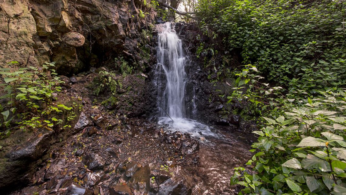
Crossing the Barranquillo del Agua and the Cañada Honda, before passing the Toscas Blancas, the village of Tunte appears in front of us, which is reached via the San Antonio neighbourhood. The end is at the church, home to the image of Saint James at an altitude of about 900 metres.
La Plata Hiking Route in Gran Canaria Technical Data
- Distance: 9,6 km
- Maximum height: 1.657 m
- Minimum height: 892 m
- Difficulty: medium
- Duration: 2:30 hours
